-
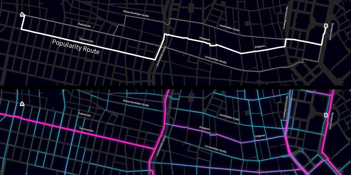
Of course the tiles for our cycling popularity map have been created with #QGIS! dts.ait.ac.at/projects/cycletripmap/On twitter.com
 ♻️ 11 Retweets
❤️ 32 Favorites
Mood +3 🙂
♻️ 11 Retweets
❤️ 32 Favorites
Mood +3 🙂
underdarkGIS’s Twitter Archive—№ 8,511
♻️ 11 Retweets
❤️ 32 Favorites
Mood +3 🙂